Irrigation Method · Irrigation method
Surface Irrigation
Also known as: Gravity irrigation, Flood irrigation
Surface irrigation applies water by gravity flow directly across the soil surface — as basins, borders, or furrows — making it the oldest and, globally, still the most widely used irrigation approach, particularly where land is level and water is inexpensive relative to labour.
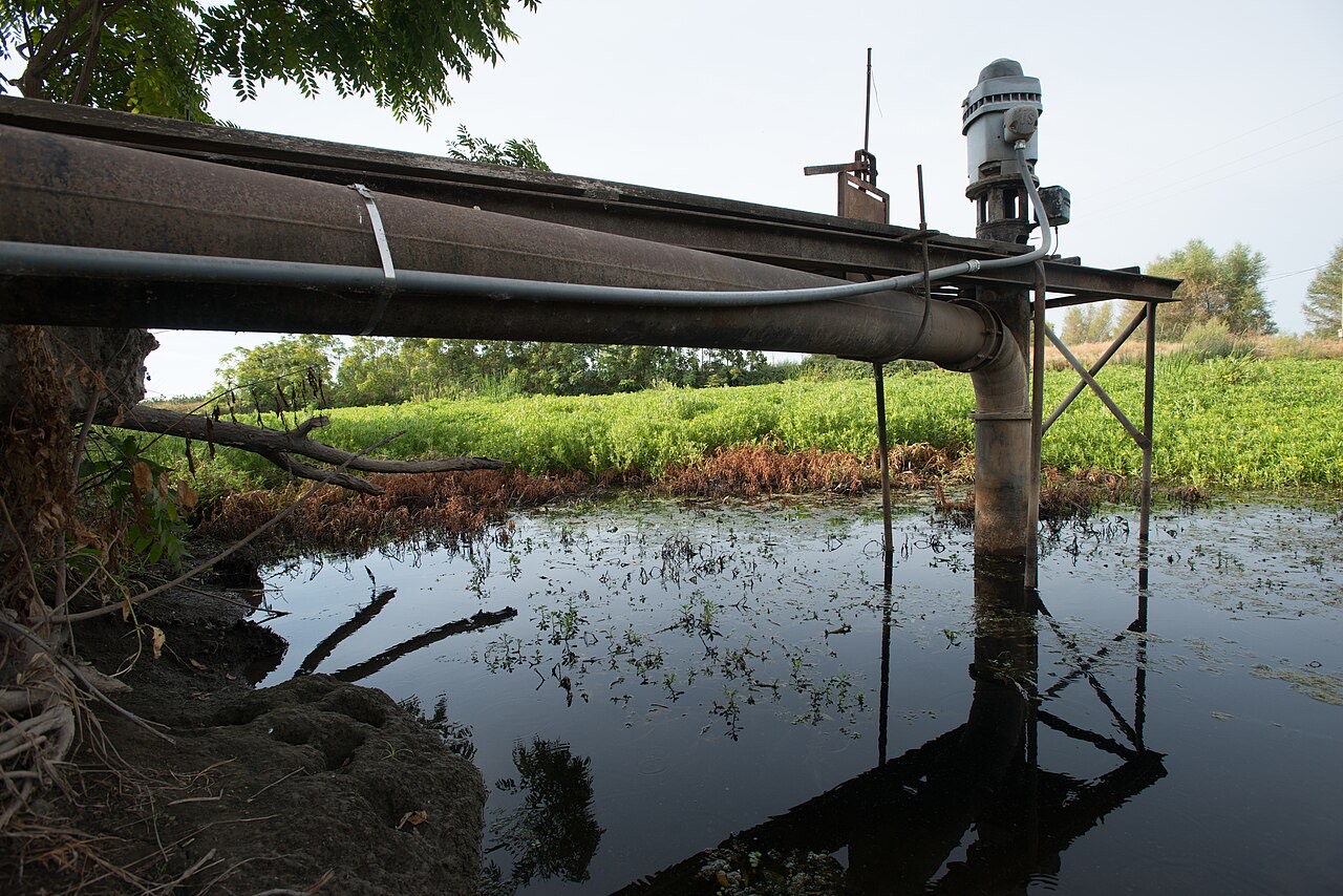
Surface irrigation delivers water to a field and lets gravity spread it across the soil surface, where it infiltrates into the root zone. It requires no pressurised delivery system, relying instead on field layout — grading, basin or border construction, or furrow shaping — to control how water moves and infiltrates.
Because it needs comparatively low-cost infrastructure and no pumping energy beyond what is needed to deliver water to the field edge, surface irrigation remains the dominant irrigation method by area in much of the world, especially in flatter terrain and in long-established irrigation districts and canal systems.
How it works
- Water is delivered to the field from a canal, pipe outlet, or pump, without pressurised distribution across the field itself
- In basin irrigation, water floods a level, bunded area and infiltrates as it stands
- In border irrigation, water flows down a graded strip bounded by low ridges
- In furrow irrigation, water flows along shallow channels between crop rows (covered separately as its own method)
- Infiltration continues as water advances and, where applicable, recedes across the field
Where it suits
Surface irrigation suits fields that are level or can be economically graded, and it is closely associated with rice, where basin (paddy) flooding is integral to production, as well as with cereals and sugarcane grown under long-established canal irrigation systems. It is generally less practical on steep or highly uneven land without significant earthworks.
Efficiency and water use
Surface irrigation efficiency varies widely depending on field levelling precision, the length of run, and management skill: a well-designed and well-managed system can perform reasonably well, while poor levelling or oversized fields often lead to uneven infiltration, with some areas over-watered and others under-watered.
Precision land levelling (including laser levelling), shorter field lengths, and careful control of inflow and cutoff timing are practices used to improve the uniformity and efficiency of surface irrigation.
Land preparation and management
Field preparation is central to surface irrigation performance: basins and border strips must be levelled and bunded to a consistent grade, and furrows or borders need periodic reshaping as they erode or fill in over time and between tillage operations.
- Laser or GPS-guided land levelling improves surface uniformity and reduces ponding or dry patches
- Field size and shape are matched to available flow rate so water can advance across the whole area in a reasonable time
- Tailwater (runoff from the low end of the field) may be collected and reused in some systems to reduce losses
Considerations
Because water moves and ponds across the surface, surface irrigation on poorly drained or heavy soils can contribute to waterlogging and, over time in some settings, to secondary soil salinity if drainage is inadequate. Field preparation and maintenance — levelling, bunding, and channel upkeep — represent an ongoing labour or capital requirement.
Tools for this
Each tool shows its formula, constants and sources, and starts empty — nothing is filled in from this page.
- Irrigation volume calculator
Convert an application depth over an area into a net and gross volume.
- Irrigation flow and time calculator
Relate that volume to a steady delivery rate and a run time.
Relationships
Evidence-backed connections in the knowledge graph.
Scope & limitations
Geographic scope: General overview of surface irrigation as practised in long-established irrigation districts and canal systems worldwide. Field configuration and management vary widely by region.
Climate context: Water demand under surface irrigation, like other methods, rises with temperature and evapotranspiration and is influenced by regional rainfall patterns and drought conditions.
- This entry describes surface irrigation function and configurations in general terms; it does not specify field dimensions, slopes, or inflow rates, which are site-specific engineering decisions.
- The risk and extent of waterlogging or salinity depend on local soil, drainage, and water-management conditions not detailed here.
Sources
This article draws on the following authoritative sources. See our sources & methodology for how they are selected.
- Authoritative
Cited for: Surface irrigation principles and design
- Type:
- Intergovernmental organization
- Jurisdiction:
- Global
- Accessed:
- 2026-07-12
- [2]USDA NRCS — Natural Resources Conservation Service (opens in a new tab)Authoritative
USDA Natural Resources Conservation Service (NRCS)
Cited for: Surface irrigation management and drainage context
- Type:
- Government agency
- Jurisdiction:
- United States
- Accessed:
- 2026-07-12
- [3]FAO — Food and Agriculture Organization (opens in a new tab)Authoritative
Food and Agriculture Organization of the United Nations (FAO)
Cited for: Global prevalence and role of surface irrigation
- Type:
- Intergovernmental organization
- Jurisdiction:
- Global
- Accessed:
- 2026-07-12
- [4]AHDB — Agriculture and Horticulture Development Board (opens in a new tab)High
Agriculture and Horticulture Development Board (AHDB)
Cited for: Irrigation management context
- Type:
- Government agency
- Jurisdiction:
- United Kingdom
- Accessed:
- 2026-07-12